
The San Juan River Guide is a waterproof guidebook providing comprehensive information on many aspects of the San Juan River.
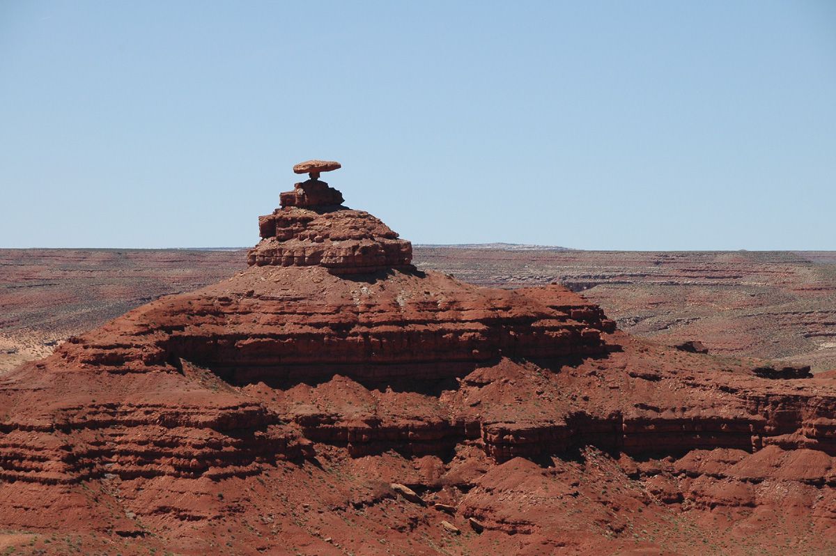
San Juan River Overview - describes the setting of the San Juan River, its different sections, river characteristics, and weather.
• Logistics and
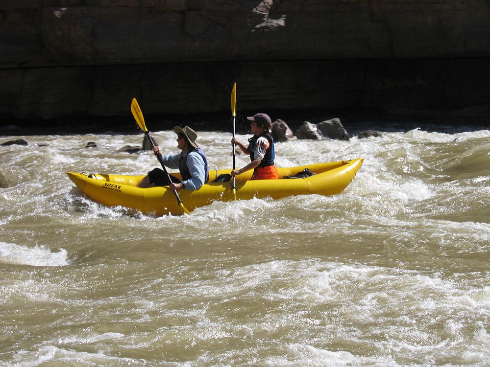
Safety - provides information on launch and take-out sites, river distances,
shuttles, jurisdiction and permits, contacts for outfitters, and river
safety.
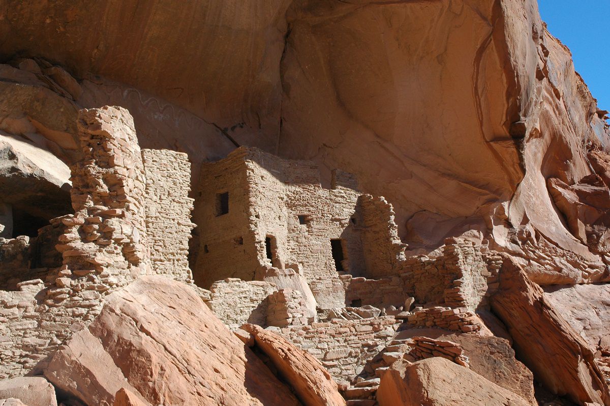
• Human
History - explores prehistory from Paleo-Indian to Pueblo periods, describes
and
 depicts
ceramics, rock art, and River House, an abandoned Pueblo dwelling. The
book discusses Native American transitions and conflicts, pioneers, the
Gold Rush and Oil Boom, the history of river recreation, and the
dam-building era and environmental movement.
depicts
ceramics, rock art, and River House, an abandoned Pueblo dwelling. The
book discusses Native American transitions and conflicts, pioneers, the
Gold Rush and Oil Boom, the history of river recreation, and the
dam-building era and environmental movement.
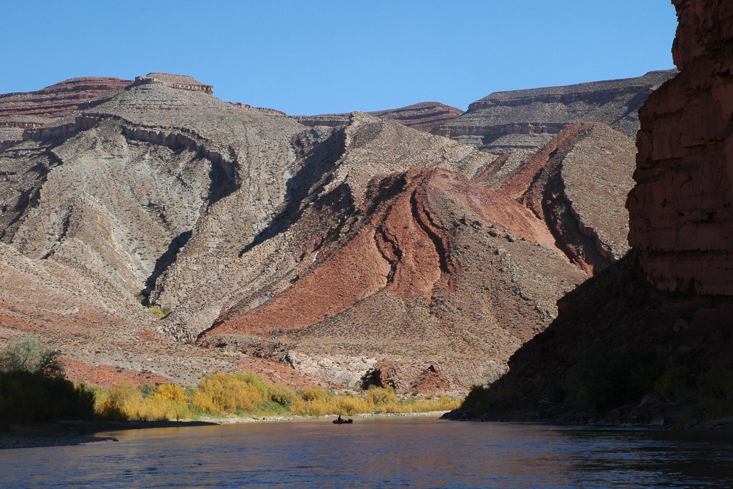
• Geology - written
by geologist Wayne Ranney, describes the origin and age of the early San
Juan River, the changing landscape surrounding the river, and the
deposition of the rocks that now form the San Juan canyons.

 •
Biology - discusses challenges to plants and animals living in the harsh San
Juan environment and biological changes to the region in the past 150
years. Also has a mini-field guide with illustrations, descriptions, and
interesting facts for common plants and animals.
•
Biology - discusses challenges to plants and animals living in the harsh San
Juan environment and biological changes to the region in the past 150
years. Also has a mini-field guide with illustrations, descriptions, and
interesting facts for common plants and animals.
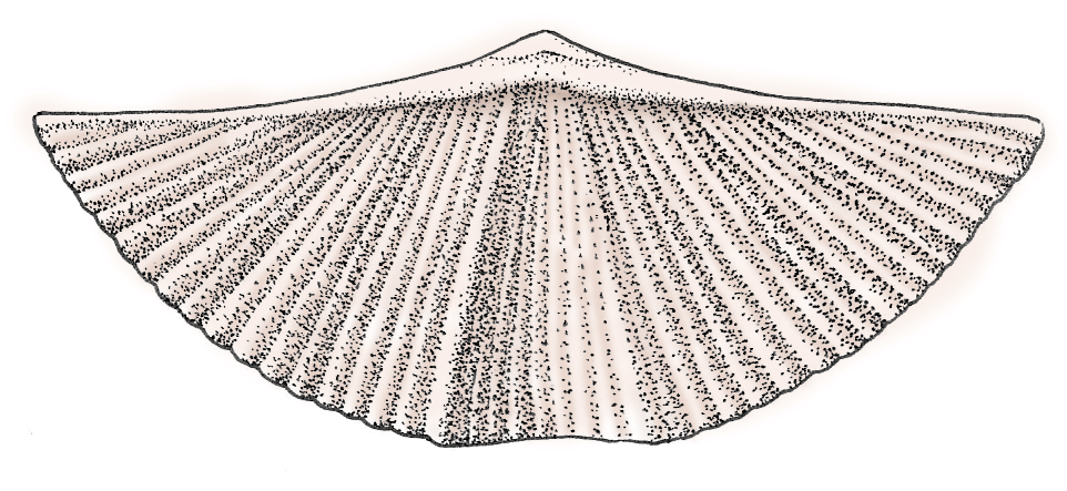
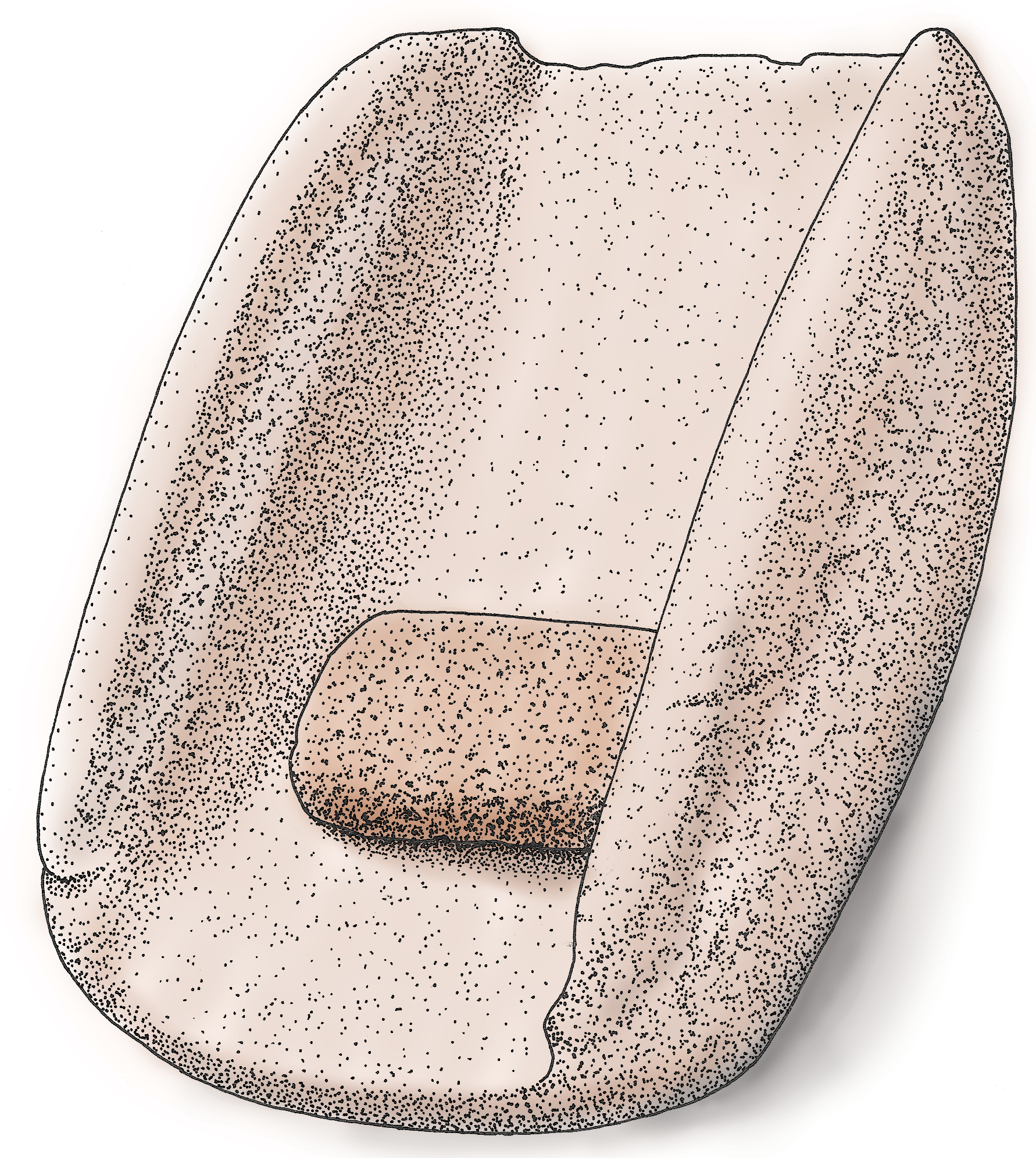
• Fossils - written by geologist Christa Sadler, describes fossils found along the river, the environments they lived in, and where they can be found. Complete with photos and illustrations.
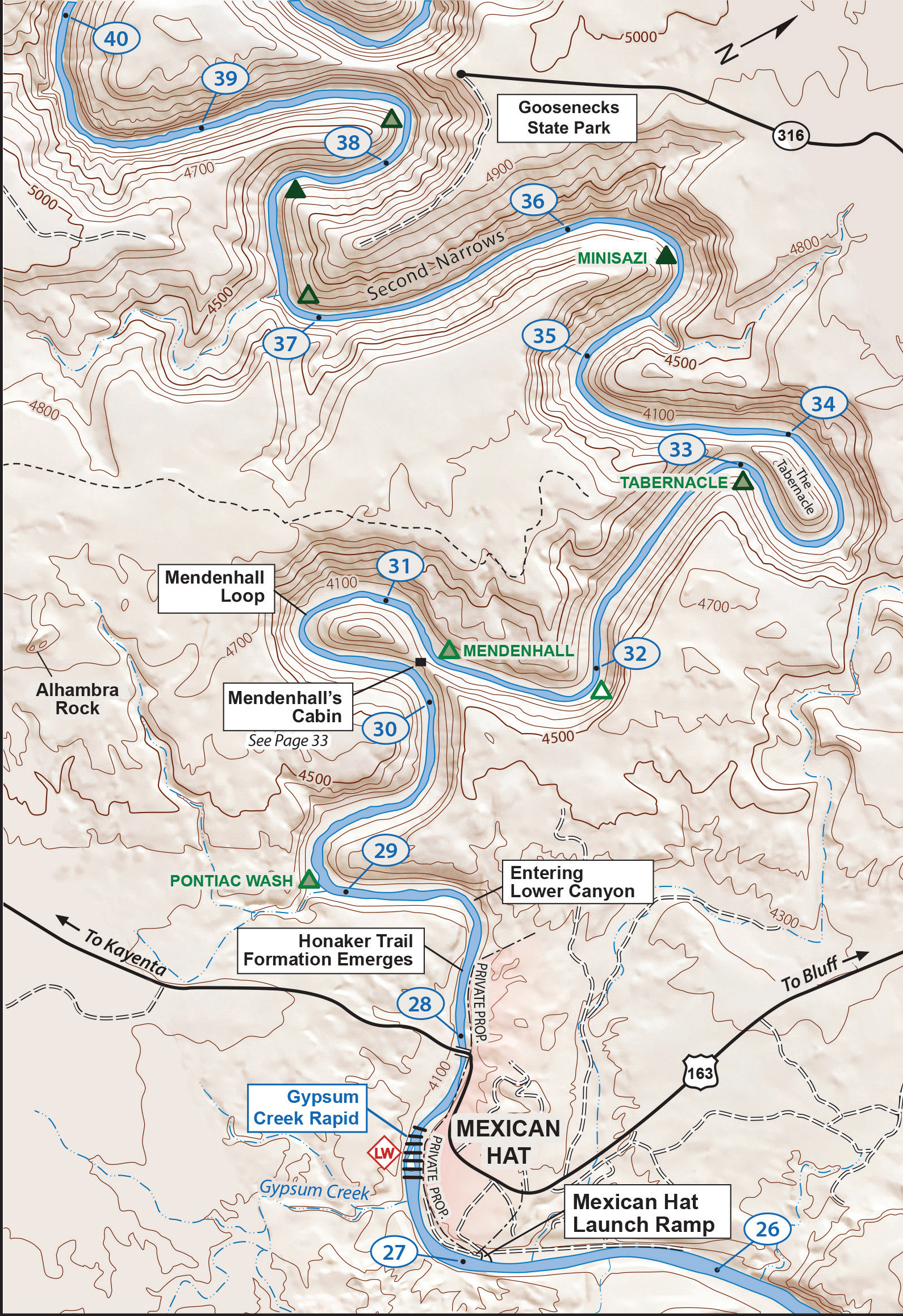
• River
Map - easy-to-read, detailed (contour intervals at 100 ft), topographic map
of the river and its surrounding canyons. Maps include campsites,
rapids and riffles, points of interest, geologic features, and references
to the text for more information. Maps face downstream so what you
see on the map is what you see on the river.
|
|